• georelief in Deutsch
  • Log in
  • Checkout
Call us: +49 (0) 351 / 79 27 5100 | E-mail: info@georelief.de
Georelief
  • HOME
  • Products
    • All products
    • NEWS
    • 3D Raised Relief Maps Europe
      • 3D Raised Relief Maps Germany
        • Baden-Wuerttemberg
        • Bavaria
        • Hamburg
        • Hessen
        • Mecklenburg-Vorpommern
        • Lower Saxony
        • North Rhine-Westphalia
        • Rhineland-Palatinate
        • Saxony
        • Saxony-Anhalt
        • Thuringia
      • France
      • Great Britain
      • Iceland
      • Italy
      • 3D Raised Relief Maps Austria
      • Poland
      • 3D Raised Relief Maps Switzerland
      • Scandinavia
      • Slowakia
      • Spain
      • Czech Republic
    • 3D Raised relief maps Africa
    • 3D Raised Relief Maps Asia
    • 3D Raised Relief Maps Mountains
    • 3D Raised Relief Maps Alps
    • Landscape
    • Accessories
      • Hook
      • Presentation
  • About us
  • Webcam
  • Contact us
  • Currency
    • EUR (Euro)
    • CHF (Swiss franc)
    • Information
  • Search
  • Menu
  • 0Shopping Cart
Gotthard region
You are here: Home / Shop / 3D Raised Relief Maps Europe / 3D Raised Relief Maps Switzerland / Gotthard region

Gotthard region

3,95 €

incl. 19% VAT excl. Shipping

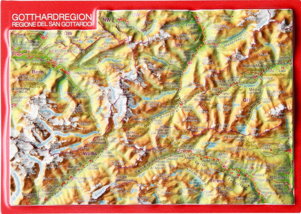
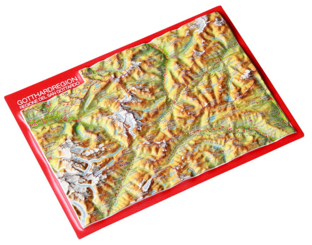
– Dimensions: 148 x 105 x 6mm

– Scale: 1: 500.000

– Boost factor: 1

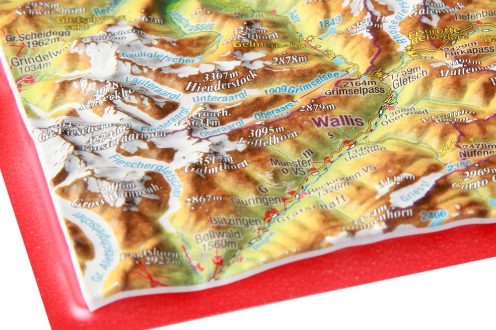
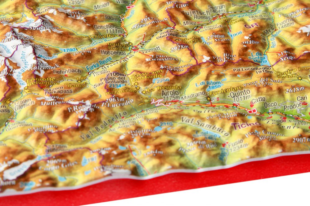
They are a bit crazy, the Swiss. Building the Gotthard Base Tunnel, the longest railway tunnel in the world, to hide one of the most beautiful regions of the country from visitors. We want to contribute to this with our relief postcard “Gotthard region” on a scale of 1:500,000.

SKU: 4280000664556 Categories: 3D Raised Relief Maps Europe, 3D Raised Relief Maps Switzerland Tags: 3D, Gotthard, Postkarte, Rahmen, Relief, rot, Stadt
  • Links in der Region
  • Description
Tourism Andermatt
Gotthard Base Tunnel
Glacier-Express
Belvédère Rhone Glacier
Furka Railway

Description

Tips and suggestions for your stay in the region can be found here

The impressive mountain world of the Gotthard massif can be enjoyed much more comfortably during a trip on the Glacier Express.
At 2,046 m on the Oberalp Pass, it reaches the highest point of its breathtaking journey from Graubünden to the Valais. The mountain section between Realp and Oberwald offers another treat for fans of puffing steam horses.

Even for friends of steep roads and countless serpentines, there can be no better playground. Whether it’s sweating with the bike or playing with the centrifugal forces on the “Töffli”: the 7 Alpine crossings are a challenge in a class of their own! The Tremola or the Gotthard Pass road is considered to be the most important route for Swiss Alpine transit. The Urseren valley with the capital Andermatt forms the wildly romantic center of the region. Rustic mountain huts, picturesque guesthouses or luxurious holiday resorts offer every imaginable comfort for guests from all over the world.

Translated with www.DeepL.com/Translator

You may also like…

  • 1-Fach Display für Postkarten

    8,00 €

    incl. 19% VAT

    excl. Shipping

    Add to cart

Contact Germany

georelief Vertriebs GbR
Dohnaer Str. 383
D-01259 Dresden

Tel: +49 (0) 351 / 79 27 5100
Fax: +49 (0) 351 / 79 24 504
E-Mail: info@georelief.de

Our Partner in Schwitzerland

Georelief GmbH
Hauptstrasse 89
CH-8840 Einsiedeln

Tel: +41 (0) 554223315
Fax: +41 (0) 554223485
E-Mail: info@georelief.ch

Information

  • Imprint
  • Payment
  • Shipping
  • Terms and Conditions
  • Protection of data privacy
georelief © 2019. Alle Preise inkl. MwSt. zzgl. Versandkosten.
3D Raised Relief Map Lake Lucerne Valais
Scroll to top

In order to give you a better service georelief uses cookies. By continuing to browse the site you are agreeing to our use of cookies.

OK
  • EUR
    Euro
  • CHF
    Schweizer Frank