- Display 30 Products per page
3D Raised Relief Maps Switzerland

Produktkategorie 3D Raised Relief Maps Switzerland
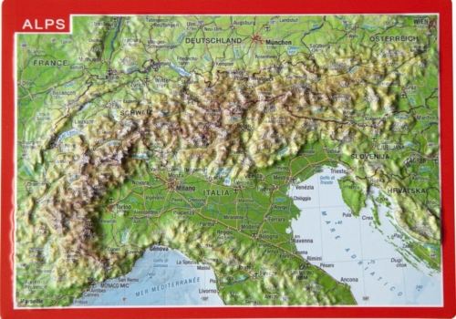
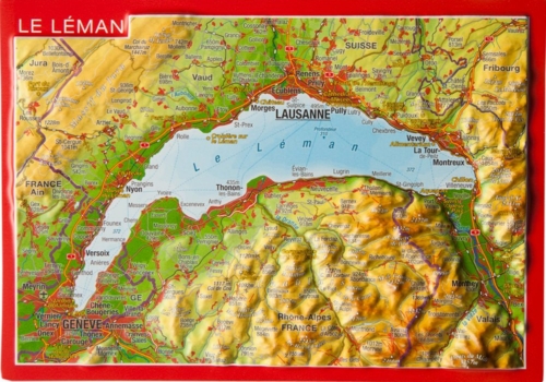
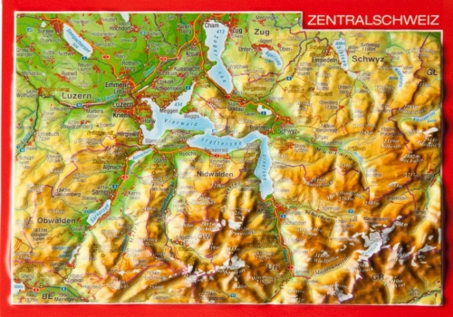
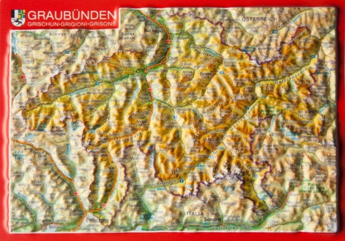
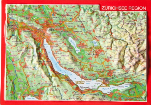
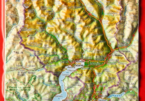
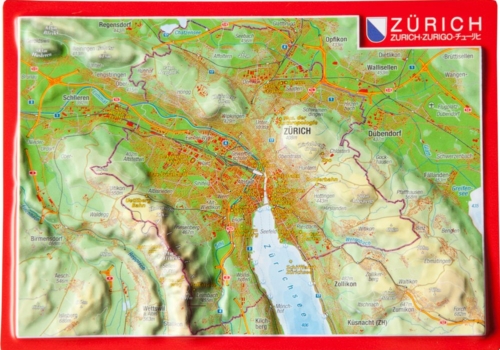
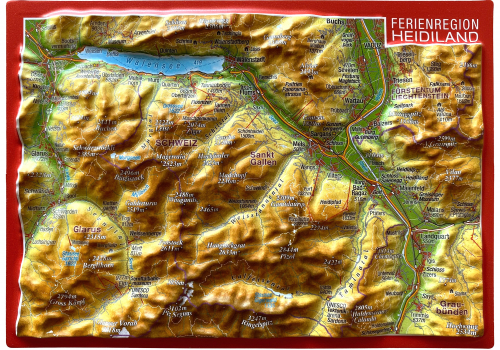
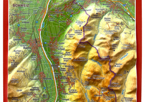
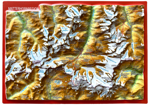
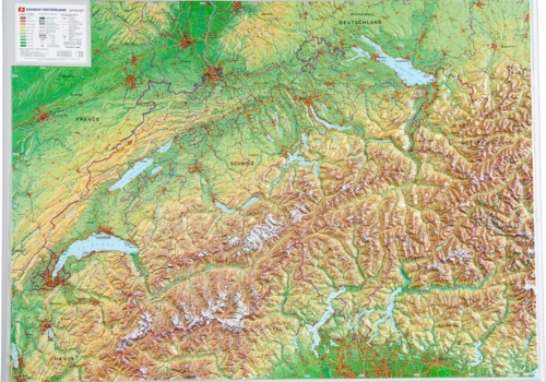
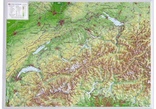
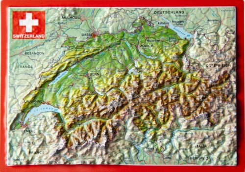
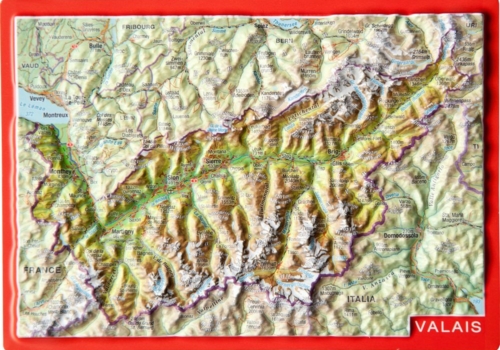
Our 3D Raised Relief Maps of Switzerland want to bring this wonderful country closer to your heart.
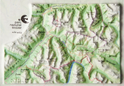
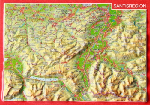
Our 3D Relief Postcards makes it possible to send the country, mountains or cities directly to your friends and family.
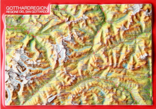
First in June 2016 was opened the 57km long Gotthard Base Tunnel through the alps. It made the traveling between north and south a half hour shorter.
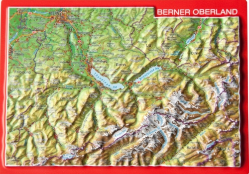
The “Top of Europe” you can reach with the Jungfraubahnen in the Bernese Oberland . It has at the attlitude of 3454m the highest train station in Europe. Here you are in a glittering world of ice and snow.
Ticino is a bit more summery. The Italian flair can you enjoy on a boat trip on Lake Lugano. Passing palm trees or vineyards, everyday life can simply take a break.
The Engadin fascinates in every season with a great play of colors under often blue skies. From Sankt Moritz, the posh holiday resort, the journey starts with a legend. The journey with the Glacier Express takes you through 3 cantons.
Let’s discover Switzerland. Let’s go!!!
3D Raised Relief Maps Switzerland
Kontakt Deutschland
georelief Vertriebs GbR
Dohnaer Str. 383
D-01259 Dresden
Tel: +49 (0) 351 / 79 27 5100
Fax: +49 (0) 351 / 79 24 504
E-Mail: info@georelief.de
Unser Partner in der Schweiz
Georelief GmbH
Hauptstrasse 89
CH-8840 Einsiedeln
Tel: +41 (0) 554223315
Fax: +41 (0) 554223485
E-Mail: info@georelief.ch

