- Display 30 Products per page
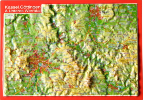
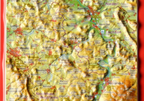
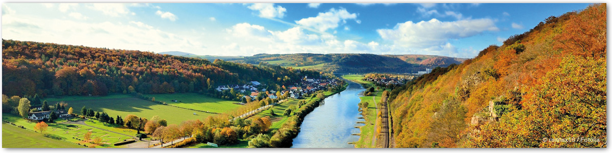
Lower Saxony
Produktkategorie Lower Saxony
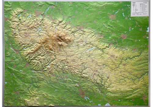
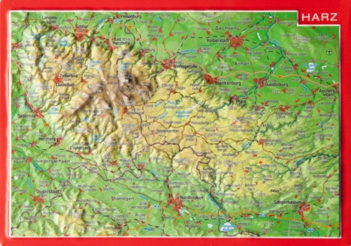
In Lower Saxony, you have to climb more than 973 meters to reach the highest mountain (Wurmberg (Harz)) from the lowest village Krummhörn (2,5m below sea level) in East Frisia (971m). A journey from the lush green dike landscapes in the north past romantic river courses and lively metropolises such as Hanover and Brunswick will take you to Germany’s northernmost low mountain range, the Harz Mountains.